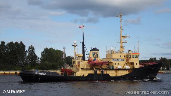
 MV NANOOK
Current Status
Where is the vessel?
MV NANOOK is currently in 27 nm SE of Ny-Ålesund, based on AIS data received about 14h ago.
Latest AIS update:
Current position: 78.52981° N, 12.99481° E (27 nm SE of Ny-Ålesund)
Average speed (last 7 days): Loading…
Average speed (last 30 days): Loading…
Vessel profile: MV NANOOK is a Salvage/Rescue Vessel with dimensions m x m.
This page combines live AIS, route history, probable destination signals, nearby traffic, and port activity for practical vessel monitoring.
The current position of vessel MV NANOOK is 78.52981 lat / 12.99481 lng. Updated: 2026-05-20 22:47:32 UTCNearest reference points:
- Near Longyearbyen
Currently sailing under the flag of Dominica ![]()
Details:
Live Vessel MV NANOOK Analytics (details, animations, etc.)
Recent AIS points (UTC):
2026-05-20 19:04:06 UTC · 78.18155, 13.85919 · SOG 11 kn · COG 252°2026-05-20 21:35:11 UTC · 78.44167, 12.32667 · SOG 12 kn · COG -1°
2026-05-20 22:47:32 UTC · 78.52981, 12.99481 · SOG 0.3 kn · COG 52°
2026-05-20 22:47:32 UTC · 78.52981, 12.99481 · SOG 0.3 kn · COG 52°