 vesseltracker.com
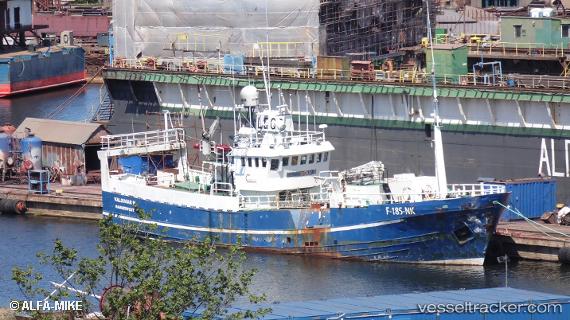
 Valdimar H
Current Status
Where is the vessel?
Valdimar H is currently in Near HONNINGSVAAG, based on AIS data received about 5d ago.
Latest AIS update:
Current position: 70.97994° N, 25.97104° E (Near HONNINGSVAAG)
Average speed (last 7 days): Loading…
Average speed (last 30 days): Loading…
Vessel profile: Valdimar H is a Fish Carrier with dimensions 37m x 7m.
This page combines live AIS, route history, probable destination signals, nearby traffic, and port activity for practical vessel monitoring.
The current position of vessel Valdimar H is 70.97994 lat / 25.97104 lng. Updated: 2026-05-13 13:42:11 UTCNearest reference points:
- Near HONNINGSVAAG
- Near SKARSVAG
- Near KJOLLEFJORD
Currently sailing under the flag of Norway ![]()
Valdimar H built in 1968 year
Details:
Live Vessel Valdimar H Analytics (details, animations, etc.)
Recent AIS points (UTC):
2026-05-13 13:42:11 UTC · 70.97994, 25.97104 · SOG 0 kn · COG -1°2026-05-13 13:42:11 UTC · 70.97994, 25.97104 · SOG 0 kn · COG -1°
2026-05-13 13:42:11 UTC · 70.97994, 25.97104 · SOG 0 kn · COG -1°
2026-05-13 13:42:11 UTC · 70.97994, 25.97104 · SOG 0 kn · COG -1°