 KOOLE K
Current Status
Where is the vessel?
KOOLE K is currently in Near Basseterre, based on AIS data received about 14h ago.
Latest AIS update:
Current position: 17.27913° N, 62.71795° W (Near Basseterre)
Average speed (last 7 days): Loading…
Average speed (last 30 days): Loading…
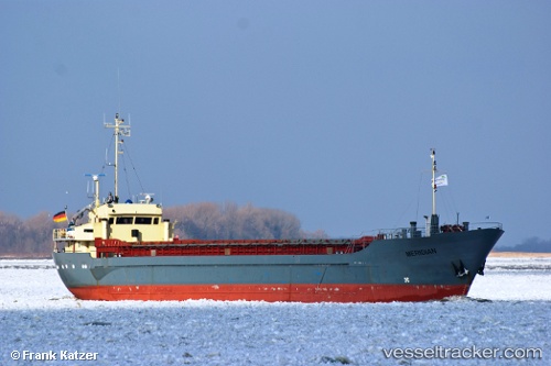
Vessel profile: KOOLE K is a General Cargo with dimensions m x m.
This page combines live AIS, route history, probable destination signals, nearby traffic, and port activity for practical vessel monitoring.
The current position of vessel KOOLE K is 17.27913 lat / -62.71795 lng. Updated: 2026-05-20 10:42:40 UTCNearest reference points:
- Near GUSTAVIA
- Near ST MAARTEN
- Near Saint John's
Currently sailing under the flag of Saint Vincent and the Grenadines ![]()
Details:
Live Vessel KOOLE K Analytics (details, animations, etc.)
Recent AIS points (UTC):
2026-05-20 07:15:20 UTC · 17.27906, -62.71792 · SOG 0.5 kn · COG 94°2026-05-20 07:26:12 UTC · 17.27913, -62.71792 · SOG 0.3 kn · COG 101°
2026-05-20 10:01:26 UTC · 17.27914, -62.71793 · SOG 0.2 kn · COG 108°
2026-05-20 10:42:40 UTC · 17.27913, -62.71795 · SOG 0.3 kn · COG 109°