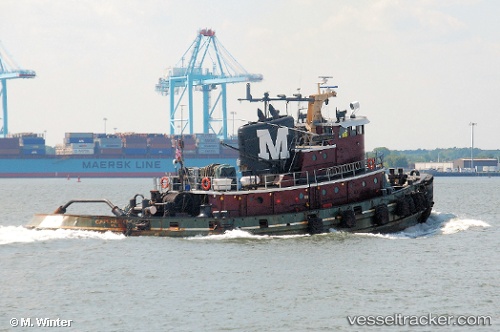
Cape Hatteras
Current StatusWhere is the vessel?
Cape Hatteras is currently in 285 nm SE of Concordia, based on AIS data received about 609d ago.
Latest AIS update:
Current position: 76.22937° S, 142.09070° E (285 nm SE of Concordia)
Average speed (last 7 days): Loading…
Average speed (last 30 days): Loading…
Vessel profile: Cape Hatteras is a Tug with dimensions 8m x 31m.
This page combines live AIS, route history, probable destination signals, nearby traffic, and port activity for practical vessel monitoring.
The current position of vessel Cape Hatteras is -76.22937 lat / 142.09070 lng. Updated: 2024-09-18 15:07:59 UTCNearest reference points:
- 287 nm SE of Concordia
Details:
Live Vessel Cape Hatteras Analytics (details, animations, etc.)
Recent AIS points (UTC):
2024-09-18 15:07:59 UTC · -76.22937, 142.09070 · SOG 54.5 kn · COG -1°