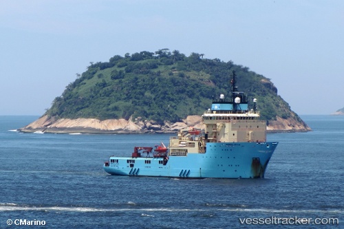
 SKANDI LIFTER
Current Status
Where is the vessel?
SKANDI LIFTER is currently in 20 nm NE of Fluminense FPSO, based on AIS data received about 14h ago.
Latest AIS update:
Current position: 22.49129° S, 40.09764° W (20 nm NE of Fluminense FPSO)
Average speed (last 7 days): Loading…
Average speed (last 30 days): Loading…
Vessel profile: SKANDI LIFTER is a Anchor Handling Vessel with dimensions m x m.
This page combines live AIS, route history, probable destination signals, nearby traffic, and port activity for practical vessel monitoring.
The current position of vessel SKANDI LIFTER is -22.49129 lat / -40.09764 lng. Updated: 2026-05-21 15:38:00 UTCNearest reference points:
- Near Fluminense FPSO
- Near PORTO DO ACU
- 68 nm SE of Espírito Santo FPSO
Details:
Live Vessel SKANDI LIFTER Analytics (details, animations, etc.)
Recent AIS points (UTC):
2026-05-21 11:37:03 UTC · -22.49092, -40.09908 · SOG 0.2 kn · COG 208°2026-05-21 13:22:23 UTC · -22.49167, -40.09833 · SOG 1 kn · COG -1°
2026-05-21 14:01:21 UTC · -22.49167, -40.09833 · SOG 1 kn · COG -1°
2026-05-21 15:38:00 UTC · -22.49129, -40.09764 · SOG 0.3 kn · COG 197°