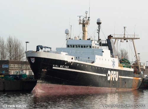
Princesa Santa Joana
Current StatusWhere is the vessel?
Princesa Santa Joana is currently in 99 nm S of Baroville, based on AIS data received about 14h ago.
Latest AIS update:
Current position: 46.54511° N, 44.82503° W (99 nm S of Baroville)
Average speed (last 7 days): Loading…
Average speed (last 30 days): Loading…
Vessel profile: Princesa Santa Joana is a Fishing Vessel with dimensions 15m x 92m.
This page combines live AIS, route history, probable destination signals, nearby traffic, and port activity for practical vessel monitoring.
The current position of vessel Princesa Santa Joana is 46.54511 lat / -44.82503 lng. Updated: 2026-05-20 15:52:30 UTCNearest reference points:
- 165 nm S of White Rose Field
Details:
Live Vessel Princesa Santa Joana Analytics (details, animations, etc.)
Recent AIS points (UTC):
2026-05-20 11:26:46 UTC · 46.59776, -44.64131 · SOG 4.3 kn · COG 264°2026-05-20 13:37:51 UTC · 46.55054, -44.80575 · SOG 9.2 kn · COG 50°
2026-05-20 13:48:50 UTC · 46.56676, -44.75908 · SOG 12 kn · COG 61°
2026-05-20 15:52:30 UTC · 46.54511, -44.82503 · SOG 4.2 kn · COG 248°