 CENTINELA I
Current Status
Where is the vessel?
CENTINELA I is currently in 33 nm W of Cobquecura, based on AIS data received about 15h ago.
Latest AIS update:
Current position: 36.09535° S, 73.46115° W (33 nm W of Cobquecura)
Average speed (last 7 days): Loading…
Average speed (last 30 days): Loading…
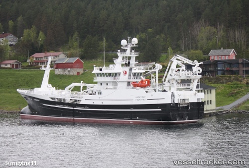
Vessel profile: CENTINELA I is a Fishing Vessel with dimensions m x m.
This page combines live AIS, route history, probable destination signals, nearby traffic, and port activity for practical vessel monitoring.
The current position of vessel CENTINELA I is -36.09535 lat / -73.46115 lng. Updated: 2026-08-03 00:15:54 UTCNearest reference points:
- Near Arauco
- 28 nm W of Pichilemu
Details:
Live Vessel CENTINELA I Analytics (details, animations, etc.)
Recent AIS points (UTC):
2026-08-02 19:55:53 UTC · -36.49309, -73.47564 · SOG 1.4 kn · COG 291°2026-08-02 21:47:32 UTC · -36.35406, -73.53674 · SOG 11.1 kn · COG 5°
2026-08-02 22:14:20 UTC · -36.32537, -73.55420 · SOG 11.8 kn · COG 188°
2026-08-03 00:15:54 UTC · -36.09535, -73.46115 · SOG 11.6 kn · COG 77°