 PINO 1
Current Status
Where is the vessel?
PINO 1 is currently in Near Contecar, based on AIS data received about 14h ago.
Latest AIS update:
Current position: 10.37735° N, 75.52635° W (Near Contecar)
Average speed (last 7 days): Loading…
Average speed (last 30 days): Loading…
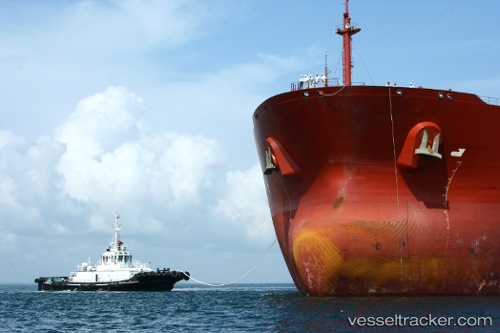
Vessel profile: PINO 1 is a Tug with dimensions m x m.
This page combines live AIS, route history, probable destination signals, nearby traffic, and port activity for practical vessel monitoring.
The current position of vessel PINO 1 is 10.37735 lat / -75.52635 lng. Updated: 2026-05-22 19:33:33 UTCNearest reference points:
- Near Contecar
- Near Sociedad Portuaria Regional Cartagena
- Near Santa Marta
Details:
Live Vessel PINO 1 Analytics (details, animations, etc.)
Recent AIS points (UTC):
2026-05-22 16:21:31 UTC · 10.37739, -75.52631 · SOG 0 kn · COG 297°2026-05-22 16:33:38 UTC · 10.37743, -75.52628 · SOG 0.1 kn · COG 320°
2026-05-22 18:15:32 UTC · 10.37738, -75.52632 · SOG 0.1 kn · COG 323°
2026-05-22 19:33:33 UTC · 10.37735, -75.52635 · SOG 0.1 kn · COG 348°