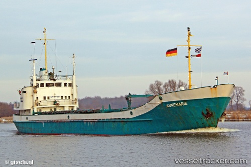
Angelica
Current StatusWhere is the vessel?
Angelica is currently in Near Contecar, based on AIS data received about 15h ago.
Latest AIS update:
Current position: 10.37015° N, 75.50891° W (Near Contecar)
Average speed (last 7 days): Loading…
Average speed (last 30 days): Loading…
Vessel profile: Angelica is a General Cargo Ship with dimensions 10m x 68m.
This page combines live AIS, route history, probable destination signals, nearby traffic, and port activity for practical vessel monitoring.
The current position of vessel Angelica is 10.37015 lat / -75.50891 lng. Updated: 2026-07-03 19:28:28 UTCNearest reference points:
- Near Contecar
- Near Sociedad Portuaria Regional Cartagena
- Near Santa Marta
Details:
Live Vessel Angelica Analytics (details, animations, etc.)
Recent AIS points (UTC):
2026-07-03 16:46:31 UTC · 10.37016, -75.50888 · SOG 0 kn · COG -1°2026-07-03 17:49:28 UTC · 10.37017, -75.50888 · SOG 0 kn · COG -1°
2026-07-03 19:09:30 UTC · 10.37000, -75.50833 · SOG 0 kn · COG -1°
2026-07-03 19:28:28 UTC · 10.37015, -75.50891 · SOG 0 kn · COG -1°