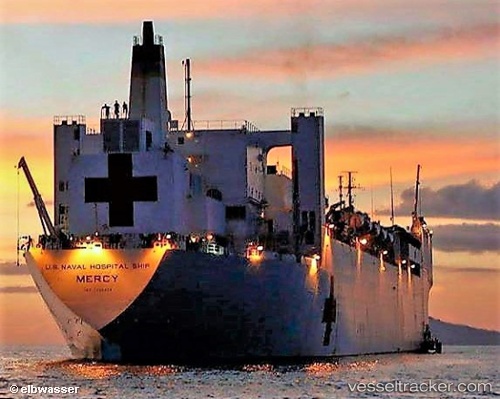
 Usns Mercy
Current Status
Where is the vessel?
Usns Mercy is currently in Near Pinto Island, based on AIS data received about 164d ago.
Latest AIS update:
Current position: 30.67890° N, 88.03407° W (Near Pinto Island)
Average speed (last 7 days): Loading…
Average speed (last 30 days): Loading…
Vessel profile: Usns Mercy is a Naval Naval Auxiliary with dimensions 275m x 32m.
This page combines live AIS, route history, probable destination signals, nearby traffic, and port activity for practical vessel monitoring.
The current position of vessel Usns Mercy is 30.67890 lat / -88.03407 lng. Updated: 2026-01-21 09:14:52 UTCNearest reference points:
- Near Pinto Island
- Near Mobile
- Near Chickasaw
Currently sailing under the flag of USA ![]()
Details:
Live Vessel Usns Mercy Analytics (details, animations, etc.)
Recent AIS points (UTC):
2026-01-21 09:14:52 UTC · 30.67890, -88.03407 · SOG 0 kn · COG 236°