 SEA WIND
Current Status
Where is the vessel?
SEA WIND is currently in 21 nm N of Port Said, based on AIS data received about 4d ago.
Latest AIS update:
Current position: 31.61759° N, 32.27894° E (21 nm N of Port Said)
Average speed (last 7 days): Loading…
Average speed (last 30 days): Loading…
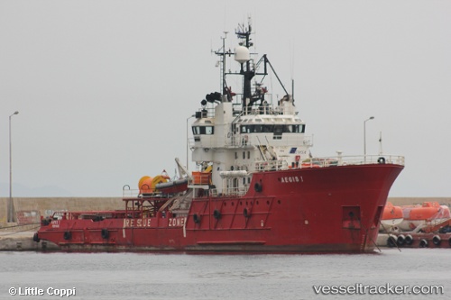
Vessel profile: SEA WIND is a Multi Purpose Offshore Vessel with dimensions m x m.
This page combines live AIS, route history, probable destination signals, nearby traffic, and port activity for practical vessel monitoring.
The current position of vessel SEA WIND is 31.61759 lat / 32.27894 lng. Updated: 2026-05-15 17:03:26 UTCNearest reference points:
- 21 nm N of Port Said
- 16 nm N of Port Said
- 15 nm N of Port Said
Currently sailing under the flag of Comoros ![]()
Details:
Live Vessel SEA WIND Analytics (details, animations, etc.)
Recent AIS points (UTC):
2026-05-15 17:03:26 UTC · 31.61759, 32.27894 · SOG 0.3 kn · COG -1°2026-05-15 17:03:26 UTC · 31.61759, 32.27894 · SOG 0.3 kn · COG -1°
2026-05-15 17:03:26 UTC · 31.61759, 32.27894 · SOG 0.3 kn · COG -1°
2026-05-15 17:03:26 UTC · 31.61759, 32.27894 · SOG 0.3 kn · COG -1°