Dongwon519
Current StatusWhere is the vessel?
Dongwon519 is currently in 38 nm E of Akaroa, based on AIS data received about 14h ago.
Latest AIS update:
Current position: 43.99792° S, 173.78841° E (38 nm E of Akaroa)
Average speed (last 7 days): Loading…
Average speed (last 30 days): Loading…
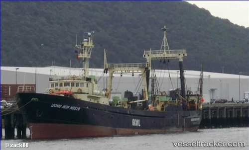
Vessel profile: Dongwon519 is a Fishing Vessel with dimensions 10m x 54m.
This page combines live AIS, route history, probable destination signals, nearby traffic, and port activity for practical vessel monitoring.
The current position of vessel Dongwon519 is -43.99792 lat / 173.78841 lng. Updated: 2026-05-20 16:02:04 UTCNearest reference points:
- Near Timaru
- Near Renwick
Details:
Live Vessel Dongwon519 Analytics (details, animations, etc.)
Recent AIS points (UTC):
2026-05-20 13:33:22 UTC · -44.01008, 173.77815 · SOG 3.3 kn · COG -1°2026-05-20 13:50:12 UTC · -44.02374, 173.76688 · SOG 3.7 kn · COG -1°
2026-05-20 15:34:24 UTC · -43.98125, 173.81609 · SOG 3.8 kn · COG -1°
2026-05-20 16:02:04 UTC · -43.99792, 173.78841 · SOG 2.5 kn · COG -1°