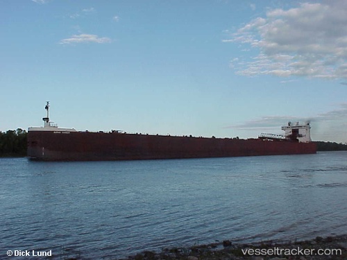
 BURNS HARBOR
Current Status
Where is the vessel?
BURNS HARBOR is currently in 34 nm N of Ontonagon, based on AIS data received about 14h ago.
Latest AIS update:
Current position: 47.40907° N, 89.55630° W (34 nm N of Ontonagon)
Average speed (last 7 days): Loading…
Average speed (last 30 days): Loading…
Vessel profile: BURNS HARBOR is a Self Discharging Bulk Carrier with dimensions m x m.
This page combines live AIS, route history, probable destination signals, nearby traffic, and port activity for practical vessel monitoring.
The current position of vessel BURNS HARBOR is 47.40907 lat / -89.55630 lng. Updated: 2026-06-16 10:01:24 UTCNearest reference points:
- Near La Pointe
Currently sailing under the flag of United States ![]()
Details:
Live Vessel BURNS HARBOR Analytics (details, animations, etc.)
Recent AIS points (UTC):
2026-06-16 05:34:34 UTC · 47.52155, -88.15735 · SOG 12.4 kn · COG 263°2026-06-16 07:27:34 UTC · 47.47393, -88.74182 · SOG 12.7 kn · COG 263°
2026-06-16 08:07:45 UTC · 47.45802, -88.95309 · SOG 12.9 kn · COG 263°
2026-06-16 10:01:24 UTC · 47.40907, -89.55630 · SOG 13 kn · COG 262°