 Kadotug
Current Status
Where is the vessel?
Kadotug is currently in 27 nm NW of Vikati Sadam, based on AIS data received about 985d ago.
Latest AIS update:
Current position: 58.68007° N, 21.23652° E (27 nm NW of Vikati Sadam)
Average speed (last 7 days): Loading…
Average speed (last 30 days): Loading…
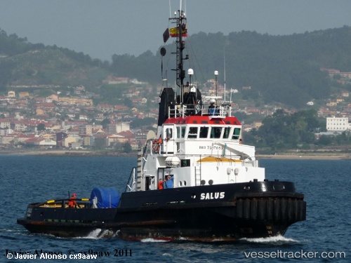
Vessel profile: Kadotug is a Tug with dimensions 31m x 9m.
This page combines live AIS, route history, probable destination signals, nearby traffic, and port activity for practical vessel monitoring.
The current position of vessel Kadotug is 58.68007 lat / 21.23652 lng. Updated: 2023-09-08 21:46:16 UTCNearest reference points:
- 20 nm W of Kalana
- 37 nm W of Vikati Sadam
- 18 nm N of Ventspils
Currently sailing under the flag of Palau ![]()
Kadotug built in 1976 year
Deadweight:
10 tDetails:
Live Vessel Kadotug Analytics (details, animations, etc.)
Recent AIS points (UTC):
2023-09-08 21:46:16 UTC · 58.68007, 21.23652 · SOG 25.1 kn · COG 32°