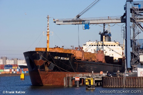
Elite
Current StatusWhere is the vessel?
Elite is currently in Open sea, approx. 451 nm off the nearest listed port, based on AIS data received about 219d ago.
Latest AIS update:
Current position: 7.95789° S, 93.92031° W (Open sea, approx. 451 nm off the nearest listed port)
Average speed (last 7 days): Loading…
Average speed (last 30 days): Loading…
Vessel profile: Elite is a Bulk Carrier with dimensions 23m x 181m.
This page combines live AIS, route history, probable destination signals, nearby traffic, and port activity for practical vessel monitoring.
The current position of vessel Elite is -7.95789 lat / -93.92031 lng. Updated: 2025-10-15 15:09:04 UTCNearest reference points:
- Open sea, approx. 451 nm off the nearest listed port
- Open sea, approx. 447 nm off the nearest listed port
- Open sea, approx. 437 nm off the nearest listed port
Details:
Live Vessel Elite Analytics (details, animations, etc.)
Recent AIS points (UTC):
2025-10-15 15:09:04 UTC · -7.95789, -93.92031 · SOG 3.5 kn · COG 69°