 LUCY J
Current Status
Where is the vessel?
LUCY J is currently in Near Alexandria, based on AIS data received about 23h ago.
Latest AIS update:
Current position: 31.19017° N, 29.87832° E (Near Alexandria)
Average speed (last 7 days): Loading…
Average speed (last 30 days): Loading…
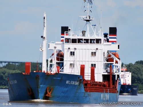
Vessel profile: LUCY J is a General Cargo Ship with dimensions 15m x 107m.
This page combines live AIS, route history, probable destination signals, nearby traffic, and port activity for practical vessel monitoring.
The current position of vessel LUCY J is 31.19017 lat / 29.87832 lng. Updated: 2026-05-20 12:57:50 UTCNearest reference points:
- Near Alexandria
- Near EL DEKHEILA
- 13 nm W of EL DEKHEILA
Currently sailing under the flag of Honduras ![]()
LUCY J built in 1979 year
Deadweight:
6105 tDetails:
Live Vessel LUCY J Analytics (details, animations, etc.)
Recent AIS points (UTC):
2026-05-20 12:52:50 UTC · 31.19017, 29.87832 · SOG 0 kn · COG -1°2026-05-20 12:57:50 UTC · 31.19017, 29.87832 · SOG 0 kn · COG -1°
2026-05-20 12:57:50 UTC · 31.19017, 29.87832 · SOG 0 kn · COG -1°
2026-05-20 12:57:50 UTC · 31.19017, 29.87832 · SOG 0 kn · COG -1°