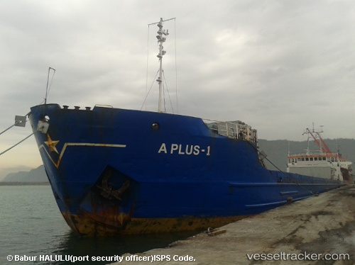
 A Plus 1
Current Status
Where is the vessel?
A Plus 1 is currently in Near Durres, based on AIS data received about 14h ago.
Latest AIS update:
Current position: 41.30443° N, 19.45227° E (Near Durres)
Average speed (last 7 days): Loading…
Average speed (last 30 days): Loading…
Vessel profile: A Plus 1 is a General Cargo Ship with dimensions 129m x 15m.
This page combines live AIS, route history, probable destination signals, nearby traffic, and port activity for practical vessel monitoring.
The current position of vessel A Plus 1 is 41.30443 lat / 19.45227 lng. Updated: 2026-05-20 13:26:48 UTCNearest reference points:
- Near Durres
- 22 nm W of Fier
- Near TIVAT
Currently sailing under the flag of Vanuatu ![]()
A Plus 1 built in 1980 year
Deadweight:
3427 tDetails:
Live Vessel A Plus 1 Analytics (details, animations, etc.)
Recent AIS points (UTC):
2026-05-20 09:38:49 UTC · 41.30445, 19.45227 · SOG 0 kn · COG 320°2026-05-20 10:26:49 UTC · 41.30443, 19.45228 · SOG 0 kn · COG 320°
2026-05-20 11:50:48 UTC · 41.30443, 19.45230 · SOG 0 kn · COG 320°
2026-05-20 13:26:48 UTC · 41.30443, 19.45227 · SOG 0 kn · COG 320°