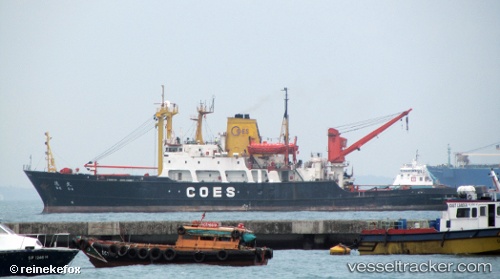
De Da
Current StatusWhere is the vessel?
De Da is currently in 26 nm SW of Porto Empedocle, based on AIS data received about 14d ago.
Latest AIS update:
Current position: 36.91580° N, 13.23821° E (26 nm SW of Porto Empedocle)
Average speed (last 7 days): Loading…
Average speed (last 30 days): Loading…
Vessel profile: De Da is a Tug with dimensions 16m x 98m.
This page combines live AIS, route history, probable destination signals, nearby traffic, and port activity for practical vessel monitoring.
The current position of vessel De Da is 36.91580 lat / 13.23821 lng. Updated: 2026-05-06 01:34:14 UTCNearest reference points:
- Near Licata
- Near Gela
- Near Scoglitti
Details:
Live Vessel De Da Analytics (details, animations, etc.)
Recent AIS points (UTC):
2026-05-06 01:34:14 UTC · 36.91580, 13.23821 · SOG 12.7 kn · COG 114°