 vesseltracker.com
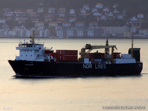
 LINK POLARIS
Current Status
Where is the vessel?
LINK POLARIS is currently in 18 nm E of Baltasound, based on AIS data received about 14h ago.
Latest AIS update:
Current position: 60.68812° N, 0.27764° W (18 nm E of Baltasound)
Average speed (last 7 days): Loading…
Average speed (last 30 days): Loading…
Vessel profile: LINK POLARIS is a Ro-Ro Cargo with dimensions m x m.
This page combines live AIS, route history, probable destination signals, nearby traffic, and port activity for practical vessel monitoring.
The current position of vessel LINK POLARIS is 60.68812 lat / -0.27764 lng. Updated: 2026-05-18 07:25:43 UTCNearest reference points:
- 10 nm N of Leadon
- 32 nm NW of Eshaness
Currently sailing under the flag of Norway ![]()
Details:
Live Vessel LINK POLARIS Analytics (details, animations, etc.)
Recent AIS points (UTC):
2026-05-18 04:09:54 UTC · 61.04516, -1.33920 · SOG 11.6 kn · COG 124°2026-05-18 04:56:13 UTC · 60.95973, -1.09214 · SOG 11.6 kn · COG 123°
2026-05-18 05:48:42 UTC · 60.86334, -0.81600 · SOG 12.2 kn · COG 121°
2026-05-18 07:25:43 UTC · 60.68812, -0.27764 · SOG 11.7 kn · COG 132°