 Amira
Amira
Current Status
Where is the vessel?
Amira is currently in 14 nm NE of Famagusta, based on AIS data received about 14h ago.
Latest AIS update:
Current position: 35.28511° N, 34.13881° E (14 nm NE of Famagusta)
Average speed (last 7 days): Loading…
Average speed (last 30 days): Loading…
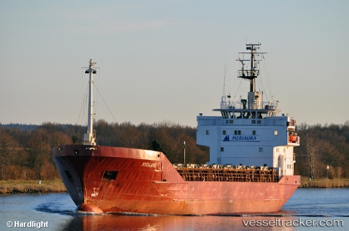
Vessel profile: Amira is a Multi Purpose Carrier with dimensions 80m x 81m.
This page combines live AIS, route history, probable destination signals, nearby traffic, and port activity for practical vessel monitoring.
The current position of vessel Amira is 35.28511 lat / 34.13881 lng. Updated: 2026-05-22 04:15:36 UTCNearest reference points:
- Near Larnaca
- 15 nm SW of Yesilovacik
- 20 nm SW of Yesilovacik
Currently sailing under the flag of Turkey ![]()
Amira built in 1981 year
Deadweight:
2574 tDetails:
Live Vessel Amira Analytics (details, animations, etc.)
Recent AIS points (UTC):
2026-05-22 01:11:36 UTC · 35.53670, 34.52804 · SOG 7.8 kn · COG -1°2026-05-22 02:05:16 UTC · 35.45816, 34.41931 · SOG 7.9 kn · COG -1°
2026-05-22 03:30:55 UTC · 35.34213, 34.23394 · SOG 7.9 kn · COG -1°
2026-05-22 04:15:36 UTC · 35.28511, 34.13881 · SOG 7.5 kn · COG -1°