Lady L
Current StatusWhere is the vessel?
Lady L is currently in Near Astrakhan, based on AIS data received about 1d ago.
Latest AIS update:
Current position: 46.40013° N, 48.07631° E (Near Astrakhan)
Average speed (last 7 days): Loading…
Average speed (last 30 days): Loading…
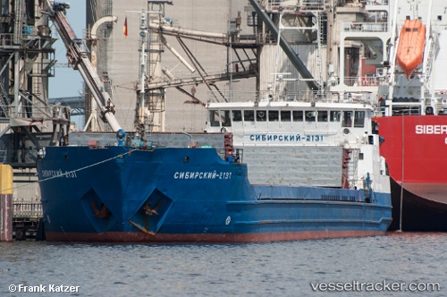
Vessel profile: Lady L is a Multi Purpose Carrier with dimensions 15m x 135m.
This page combines live AIS, route history, probable destination signals, nearby traffic, and port activity for practical vessel monitoring.
The current position of vessel Lady L is 46.40013 lat / 48.07631 lng. Updated: 2026-05-19 11:26:16 UTCNearest reference points:
- Near Astrakhan
- Near Krasnyye Barrikady
- 20 nm N of Astrakhan
Details:
Live Vessel Lady L Analytics (details, animations, etc.)
Recent AIS points (UTC):
2026-05-19 11:26:16 UTC · 46.40013, 48.07631 · SOG 9.5 kn · COG 11°2026-05-19 11:26:16 UTC · 46.40013, 48.07631 · SOG 9.5 kn · COG 11°
2026-05-19 11:26:16 UTC · 46.40013, 48.07631 · SOG 9.5 kn · COG 11°
2026-05-19 11:26:16 UTC · 46.40013, 48.07631 · SOG 9.5 kn · COG 11°