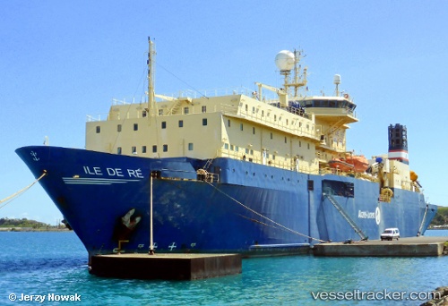
Ile De Re
Current StatusWhere is the vessel?
Ile De Re is currently in 38 nm E of Beijiao, based on AIS data received about 14h ago.
Latest AIS update:
Current position: 26.29219° N, 120.62810° E (38 nm E of Beijiao)
Average speed (last 7 days): Loading…
Average speed (last 30 days): Loading…
Vessel profile: Ile De Re is a Cable Layer with dimensions 24m x 144m.
This page combines live AIS, route history, probable destination signals, nearby traffic, and port activity for practical vessel monitoring.
The current position of vessel Ile De Re is 26.29219 lat / 120.62810 lng. Updated: 2026-05-20 14:09:18 UTCNearest reference points:
- 35 nm E of Beijiao
- 31 nm E of Beijiao
- 28 nm E of Beijiao
Details:
Live Vessel Ile De Re Analytics (details, animations, etc.)
Recent AIS points (UTC):
2026-05-20 10:09:45 UTC · 26.30770, 120.61629 · SOG 0.8 kn · COG 224°2026-05-20 11:31:07 UTC · 26.30796, 120.61622 · SOG 0.3 kn · COG 216°
2026-05-20 13:22:36 UTC · 26.29718, 120.62387 · SOG 0.5 kn · COG 199°
2026-05-20 14:09:18 UTC · 26.29219, 120.62810 · SOG 0.4 kn · COG 201°