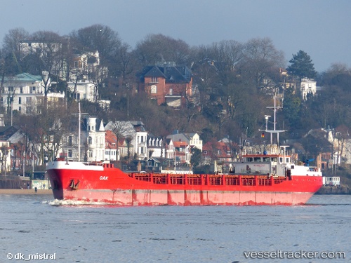
 OAK I
OAK I
Current Status
Where is the vessel?
OAK I is currently in Near Kril ICD, based on AIS data received about 15h ago.
Latest AIS update:
Current position: 21.14973° N, 72.66319° E (Near Kril ICD)
Average speed (last 7 days): Loading…
Average speed (last 30 days): Loading…
Vessel profile: OAK I is a General Cargo with dimensions m x m.
This page combines live AIS, route history, probable destination signals, nearby traffic, and port activity for practical vessel monitoring.
The current position of vessel OAK I is 21.14973 lat / 72.66319 lng. Updated: 2026-07-31 16:10:13 UTCNearest reference points:
- Near Gandhar
- Near Mithivirdi
- Near DAHEJ
Currently sailing under the flag of Saint Kitts and Nevis ![]()
Details:
Live Vessel OAK I Analytics (details, animations, etc.)
Recent AIS points (UTC):
2026-07-31 13:18:33 UTC · 21.14975, 72.66320 · SOG 0 kn · COG -1°2026-07-31 14:08:58 UTC · 21.14970, 72.66318 · SOG 0 kn · COG -1°
2026-07-31 15:34:53 UTC · 21.14971, 72.66321 · SOG 0 kn · COG -1°
2026-07-31 16:10:13 UTC · 21.14973, 72.66319 · SOG 0 kn · COG -1°