 Nusa Putera
Current Status
Where is the vessel?
Nusa Putera is currently in Near BANJARMASIN, based on AIS data received about 8d ago.
Latest AIS update:
Current position: 3.30962° S, 114.56547° E (Near BANJARMASIN)
Average speed (last 7 days): Loading…
Average speed (last 30 days): Loading…
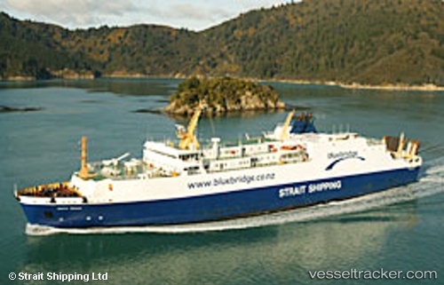
Vessel profile: Nusa Putera is a Passenger Ro Ro Cargo Ship with dimensions 136m x 22m.
This page combines live AIS, route history, probable destination signals, nearby traffic, and port activity for practical vessel monitoring.
The current position of vessel Nusa Putera is -3.30962 lat / 114.56547 lng. Updated: 2026-05-11 18:25:04 UTCNearest reference points:
- Near BANJARMASIN
- Near Taboneo
- Near Bunati
Currently sailing under the flag of Indonesia ![]()
Nusa Putera built in 1985 year
Deadweight:
3750 tDetails:
Live Vessel Nusa Putera Analytics (details, animations, etc.)
Recent AIS points (UTC):
2026-05-11 18:25:04 UTC · -3.30962, 114.56547 · SOG 0 kn · COG -1°2026-05-11 18:25:04 UTC · -3.30962, 114.56547 · SOG 0 kn · COG -1°
2026-05-11 18:25:04 UTC · -3.30962, 114.56547 · SOG 0 kn · COG -1°
2026-05-11 18:25:04 UTC · -3.30962, 114.56547 · SOG 0 kn · COG -1°
2026-05-11 18:25:04 UTC · -3.30962, 114.56547 · SOG 0 kn · COG -1°