 OSPREY
Current Status
Where is the vessel?
OSPREY is currently in 24 nm SW of Haspe, based on AIS data received about 15h ago.
Latest AIS update:
Current position: 54.11733° N, 6.88108° E (24 nm SW of Haspe)
Average speed (last 7 days): Loading…
Average speed (last 30 days): Loading…
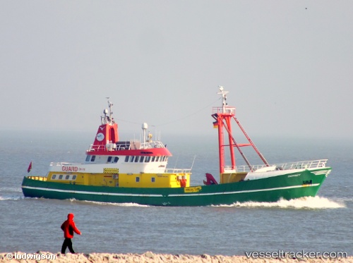
Vessel profile: OSPREY is a Utility Vessel with dimensions m x m.
This page combines live AIS, route history, probable destination signals, nearby traffic, and port activity for practical vessel monitoring.
The current position of vessel OSPREY is 54.11733 lat / 6.88108 lng. Updated: 2026-05-21 04:30:31 UTCNearest reference points:
- Near NORDERNEY
- Near NORDDEICH
- Near Borkum
Currently sailing under the flag of Bahamas ![]()
Details:
Live Vessel OSPREY Analytics (details, animations, etc.)
Recent AIS points (UTC):
2026-05-21 01:12:02 UTC · 54.11167, 6.86500 · SOG 1 kn · COG -1°2026-05-21 01:42:03 UTC · 54.11333, 6.88167 · SOG 0 kn · COG -1°
2026-05-21 03:15:02 UTC · 54.10833, 6.88667 · SOG 0 kn · COG -1°
2026-05-21 04:30:31 UTC · 54.11733, 6.88108 · SOG 0.5 kn · COG 325°