 S J ROYAL
Current Status
Where is the vessel?
S J ROYAL is currently in Near Hamriya Free Zone Port, based on AIS data received about 14h ago.
Latest AIS update:
Current position: 25.30025° N, 55.33387° E (Near Hamriya Free Zone Port)
Average speed (last 7 days): Loading…
Average speed (last 30 days): Loading…
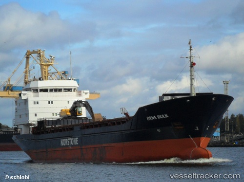
Vessel profile: S J ROYAL is a General Cargo with dimensions m x m.
This page combines live AIS, route history, probable destination signals, nearby traffic, and port activity for practical vessel monitoring.
The current position of vessel S J ROYAL is 25.30025 lat / 55.33387 lng. Updated: 2026-06-17 17:51:10 UTCNearest reference points:
- Near Mina Rashid Port
- Near Dubai
- Near DUBAI
Currently sailing under the flag of Comoros ![]()
Details:
Live Vessel S J ROYAL Analytics (details, animations, etc.)
Recent AIS points (UTC):
2026-06-17 14:14:02 UTC · 25.30028, 55.33388 · SOG 0 kn · COG -1°2026-06-17 15:21:56 UTC · 25.30024, 55.33386 · SOG 0 kn · COG -1°
2026-06-17 16:51:06 UTC · 25.30019, 55.33388 · SOG 0 kn · COG -1°
2026-06-17 17:51:10 UTC · 25.30025, 55.33387 · SOG 0 kn · COG -1°