 Nour
Nour
Current Status
Where is the vessel?
Nour is currently in Near Al Adabiyah, based on AIS data received about 14h ago.
Latest AIS update:
Current position: 29.83705° N, 32.51240° E (Near Al Adabiyah)
Average speed (last 7 days): Loading…
Average speed (last 30 days): Loading…
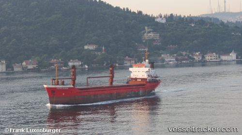
Vessel profile: Nour is a Multi Purpose Carrier with dimensions 105m x 105m.
This page combines live AIS, route history, probable destination signals, nearby traffic, and port activity for practical vessel monitoring.
The current position of vessel Nour is 29.83705 lat / 32.51240 lng. Updated: 2026-05-19 03:47:21 UTCNearest reference points:
- Near Bur Ibrahim
- Near AL ADABIYAH
- Near Al Adabiyah
Currently sailing under the flag of Sierra Leone ![]()
Nour built in 1985 year
Deadweight:
5105 tDetails:
Live Vessel Nour Analytics (details, animations, etc.)
Recent AIS points (UTC):
2026-05-18 23:32:20 UTC · 29.83703, 32.51208 · SOG 0 kn · COG -1°2026-05-19 01:26:19 UTC · 29.83703, 32.51215 · SOG 0 kn · COG -1°
2026-05-19 01:35:19 UTC · 29.83701, 32.51226 · SOG 0 kn · COG -1°
2026-05-19 03:47:21 UTC · 29.83705, 32.51240 · SOG 0 kn · COG -1°