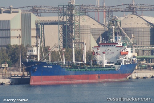
Mt Free Star
Current StatusWhere is the vessel?
Mt Free Star is currently in 28 nm E of SHINAS, based on AIS data received about 119d ago.
Latest AIS update:
Current position: 24.71912° N, 56.98081° E (28 nm E of SHINAS)
Average speed (last 7 days): Loading…
Average speed (last 30 days): Loading…
Vessel profile: Mt Free Star is a Chemical Oil Products Tanker with dimensions 16m x 111m.
This page combines live AIS, route history, probable destination signals, nearby traffic, and port activity for practical vessel monitoring.
The current position of vessel Mt Free Star is 24.71912 lat / 56.98081 lng. Updated: 2026-01-21 12:30:16 UTCNearest reference points:
- 18 nm SE of SHINAS
- 42 nm SE of Offshore Fujairah
- 17 nm SE of Shinas
Details:
Live Vessel Mt Free Star Analytics (details, animations, etc.)
Recent AIS points (UTC):
2026-01-21 12:30:16 UTC · 24.71912, 56.98081 · SOG 1.5 kn · COG -1°