 Gulf Stream
Current Status
Where is the vessel?
Gulf Stream is currently in Near Mersin, based on AIS data received about 14h ago.
Latest AIS update:
Current position: 36.75993° N, 34.63611° E (Near Mersin)
Average speed (last 7 days): Loading…
Average speed (last 30 days): Loading…
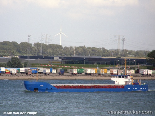
Vessel profile: Gulf Stream is a Multi Purpose Carrier with dimensions 91m x 11m.
This page combines live AIS, route history, probable destination signals, nearby traffic, and port activity for practical vessel monitoring.
The current position of vessel Gulf Stream is 36.75993 lat / 34.63611 lng. Updated: 2026-05-21 05:20:22 UTCNearest reference points:
- Near Mersin
- Near Mersin-Free Zone
- Near YUMURTALIC
Currently sailing under the flag of St Kitts Nevis ![]()
Gulf Stream built in 1984 year
Deadweight:
3500 tDetails:
Live Vessel Gulf Stream Analytics (details, animations, etc.)
Recent AIS points (UTC):
2026-05-21 01:59:16 UTC · 36.76003, 34.63601 · SOG 0.2 kn · COG -1°2026-05-21 03:53:21 UTC · 36.75990, 34.63623 · SOG 0.3 kn · COG -1°
2026-05-21 04:36:23 UTC · 36.75997, 34.63611 · SOG 0.4 kn · COG -1°
2026-05-21 05:20:22 UTC · 36.75993, 34.63611 · SOG 0.1 kn · COG -1°