 Sima
Sima
Current Status
Where is the vessel?
Sima is currently in 15 nm NE of SAINT QUAY PORTRIEUX, based on AIS data received about 15h ago.
Latest AIS update:
Current position: 48.85592° N, 2.62282° W (15 nm NE of SAINT QUAY PORTRIEUX)
Average speed (last 7 days): Loading…
Average speed (last 30 days): Loading…
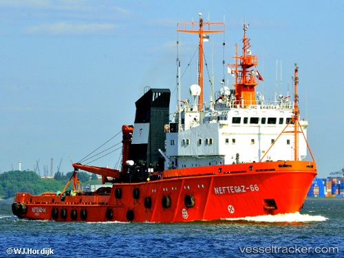
Vessel profile: Sima is a Offshore Tug Supply Ship with dimensions 80m x 16m.
This page combines live AIS, route history, probable destination signals, nearby traffic, and port activity for practical vessel monitoring.
The current position of vessel Sima is 48.85592 lat / -2.62282 lng. Updated: 2026-05-19 13:33:40 UTCNearest reference points:
- Near Pleubian
- Near SAINT CAST LE GUIDO
- Near GUERNSEY
Currently sailing under the flag of Denmark ![]()
Sima built in 1990 year
Deadweight:
1393 tDetails:
Live Vessel Sima Analytics (details, animations, etc.)
Recent AIS points (UTC):
2026-05-19 10:59:20 UTC · 48.86249, -2.62444 · SOG 0.2 kn · COG 151°2026-05-19 12:27:31 UTC · 48.85850, -2.63096 · SOG 0.2 kn · COG 142°
2026-05-19 13:33:01 UTC · 48.85597, -2.62294 · SOG 0.4 kn · COG 144°
2026-05-19 13:33:40 UTC · 48.85592, -2.62282 · SOG 0.6 kn · COG 145°