 Maryland
Current Status
Where is the vessel?
Maryland is currently in 347 nm SW of Sungai Besi, based on AIS data received about 518d ago.
Latest AIS update:
Current position: 0.82613° N, 107.03838° W (347 nm SW of Sungai Besi)
Average speed (last 7 days): Loading…
Average speed (last 30 days): Loading…
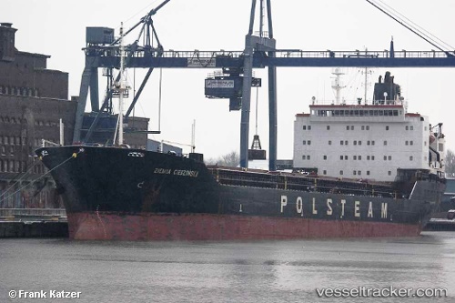
Vessel profile: Maryland is a Bulk Carrier with dimensions 179m x 23m.
This page combines live AIS, route history, probable destination signals, nearby traffic, and port activity for practical vessel monitoring.
The current position of vessel Maryland is 0.82613 lat / -107.03838 lng. Updated: 2024-12-19 09:01:11 UTCNearest reference points:
- Open sea, approx. 400 nm off the nearest listed port
- Open sea, approx. 403 nm off the nearest listed port
- Open sea, approx. 402 nm off the nearest listed port
Currently sailing under the flag of Liberia ![]()
Maryland built in 1992 year
Deadweight:
26264 tDetails:
Live Vessel Maryland Analytics (details, animations, etc.)
Recent AIS points (UTC):
2024-12-19 09:01:11 UTC · 0.82613, -107.03838 · SOG 8.4 kn · COG 239°