 SEA WAVE I
Current Status
Where is the vessel?
SEA WAVE I is currently in 11 nm E of OSMAN DIGNA, based on AIS data received about 14h ago.
Latest AIS update:
Current position: 19.17249° N, 37.54097° E (11 nm E of OSMAN DIGNA)
Average speed (last 7 days): Loading…
Average speed (last 30 days): Loading…
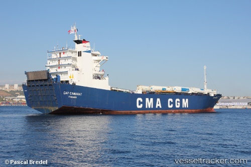
Vessel profile: SEA WAVE I is a Ro-Ro Cargo Ship with dimensions 20m x 125m.
This page combines live AIS, route history, probable destination signals, nearby traffic, and port activity for practical vessel monitoring.
The current position of vessel SEA WAVE I is 19.17249 lat / 37.54097 lng. Updated: 2026-05-20 13:02:08 UTCNearest reference points:
- Near Port Sudan
- 53 nm SW of SHUAIBAH
- 99 nm SW of Al Qunfudah
Currently sailing under the flag of Panama ![]()
SEA WAVE I built in 1987 year
Deadweight:
3969 tDetails:
Live Vessel SEA WAVE I Analytics (details, animations, etc.)
Recent AIS points (UTC):
2026-05-20 10:14:08 UTC · 19.17213, 37.54169 · SOG 0 kn · COG 13°2026-05-20 10:17:07 UTC · 19.17214, 37.54172 · SOG 0 kn · COG 12°
2026-05-20 11:35:08 UTC · 19.17220, 37.54141 · SOG 0 kn · COG 26°
2026-05-20 13:02:08 UTC · 19.17249, 37.54097 · SOG 0 kn · COG 48°