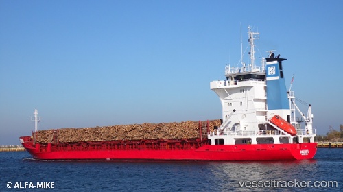
 Merita
Current Status
Where is the vessel?
Merita is currently in 30 nm SE of Sankt Anna, based on AIS data received about 14h ago.
Latest AIS update:
Current position: 58.13936° N, 17.57300° E (30 nm SE of Sankt Anna)
Average speed (last 7 days): Loading…
Average speed (last 30 days): Loading…
Vessel profile: Merita is a Multi Purpose Carrier with dimensions 99m x 99m.
This page combines live AIS, route history, probable destination signals, nearby traffic, and port activity for practical vessel monitoring.
The current position of vessel Merita is 58.13936 lat / 17.57300 lng. Updated: 2026-05-20 09:41:36 UTCNearest reference points:
- Near Stora Vika
- Near SODERTALJE
- Near Segeltorp
Currently sailing under the flag of Portugal ![]()
Merita built in 1985 year
Deadweight:
4496 tDetails:
Live Vessel Merita Analytics (details, animations, etc.)
Recent AIS points (UTC):
2026-05-20 06:06:15 UTC · 58.66781, 18.49652 · SOG 12.2 kn · COG 224°2026-05-20 07:44:15 UTC · 58.42980, 18.05727 · SOG 12.3 kn · COG 225°
2026-05-20 08:06:16 UTC · 58.37579, 17.96012 · SOG 11.9 kn · COG 222°
2026-05-20 09:41:36 UTC · 58.13936, 17.57300 · SOG 11.7 kn · COG 222°