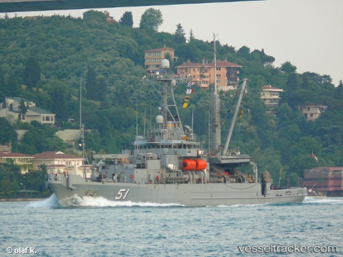
 Grasp
Grasp
Current Status
Where is the vessel?
Grasp is currently in Near San Diego, based on AIS data received about 16h ago.
Latest AIS update:
Current position: 32.70500° N, 117.18333° W (Near San Diego)
Average speed (last 7 days): Loading…
Average speed (last 30 days): Loading…
Vessel profile: Grasp is a Dredger with dimensions 78m x 15m.
This page combines live AIS, route history, probable destination signals, nearby traffic, and port activity for practical vessel monitoring.
The current position of vessel Grasp is 32.70500 lat / -117.18333 lng. Updated: 2026-05-20 17:28:27 UTCNearest reference points:
- Near San Diego
- Near Coronado
- Near Ocean Beach
Currently sailing under the flag of USA ![]()
Grasp built in 1985 year
Deadweight:
681 tDetails:
Live Vessel Grasp Analytics (details, animations, etc.)
Recent AIS points (UTC):
2026-05-20 13:39:51 UTC · 32.70500, -117.18333 · SOG 0 kn · COG -1°2026-05-20 16:03:39 UTC · 32.70422, -117.18266 · SOG 0 kn · COG 110°
2026-05-20 16:15:39 UTC · 32.70425, -117.18267 · SOG 0 kn · COG 110°
2026-05-20 17:28:27 UTC · 32.70500, -117.18333 · SOG 0 kn · COG -1°