 vesseltracker.com
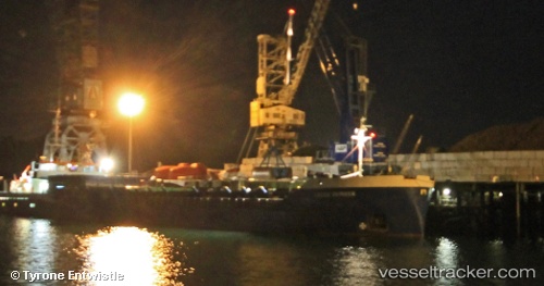
 Muhammet Gumustas 6
Current Status
Where is the vessel?
Muhammet Gumustas 6 is currently in Near SITIA, based on AIS data received about 14h ago.
Latest AIS update:
Current position: 35.20884° N, 26.12350° E (Near SITIA)
Average speed (last 7 days): Loading…
Average speed (last 30 days): Loading…
Vessel profile: Muhammet Gumustas 6 is a General Cargo Ship with dimensions 88m x 13m.
This page combines live AIS, route history, probable destination signals, nearby traffic, and port activity for practical vessel monitoring.
The current position of vessel Muhammet Gumustas 6 is 35.20884 lat / 26.12350 lng. Updated: 2026-05-17 23:39:29 UTCNearest reference points:
- Near Iraklion
- 20 nm S of Astypálaia
- Near Kali Limenes
Currently sailing under the flag of Turkey ![]()
Muhammet Gumustas 6 built in 1985 year
Deadweight:
3065 tDetails:
Live Vessel Muhammet Gumustas 6 Analytics (details, animations, etc.)
Recent AIS points (UTC):
2026-05-17 19:33:30 UTC · 35.20877, 26.12351 · SOG 0.1 kn · COG 276°2026-05-17 21:54:30 UTC · 35.20871, 26.12349 · SOG 0.1 kn · COG 273°
2026-05-17 23:03:30 UTC · 35.20827, 26.12315 · SOG 0 kn · COG 330°
2026-05-17 23:39:29 UTC · 35.20884, 26.12350 · SOG 0.1 kn · COG 276°