 Sulafjord
Current Status
Where is the vessel?
Sulafjord is currently in Near Kjøpsvik, based on AIS data received about 14h ago.
Latest AIS update:
Current position: 68.09294° N, 16.35635° E (Near Kjøpsvik)
Average speed (last 7 days): Loading…
Average speed (last 30 days): Loading…
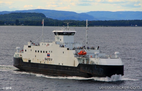
Vessel profile: Sulafjord is a Passenger Ro Ro Cargo Ship with dimensions 86m x 15m.
This page combines live AIS, route history, probable destination signals, nearby traffic, and port activity for practical vessel monitoring.
The current position of vessel Sulafjord is 68.09294 lat / 16.35635 lng. Updated: 2026-05-22 13:23:05 UTCNearest reference points:
- Near Harstad
- Near Hammerfall
- Near Sigerfjord
Currently sailing under the flag of Norway ![]()
Sulafjord built in 1986 year
Deadweight:
785 tDetails:
Live Vessel Sulafjord Analytics (details, animations, etc.)
Recent AIS points (UTC):
2026-05-22 10:01:35 UTC · 68.09295, 16.35634 · SOG 0 kn · COG 244°2026-05-22 11:37:33 UTC · 68.09292, 16.35636 · SOG 0 kn · COG 245°
2026-05-22 13:07:33 UTC · 68.09293, 16.35634 · SOG 0 kn · COG 245°
2026-05-22 13:23:05 UTC · 68.09294, 16.35635 · SOG 0 kn · COG 245°