 ALMAHER
Current Status
Where is the vessel?
ALMAHER is currently in Near Sharjah, based on AIS data received about 14h ago.
Latest AIS update:
Current position: 25.47860° N, 55.29129° E (Near Sharjah)
Average speed (last 7 days): Loading…
Average speed (last 30 days): Loading…
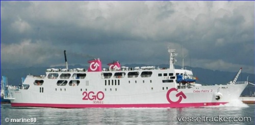
Vessel profile: ALMAHER is a Ro-Ro/Passenger Ship with dimensions m x m.
This page combines live AIS, route history, probable destination signals, nearby traffic, and port activity for practical vessel monitoring.
The current position of vessel ALMAHER is 25.47860 lat / 55.29129 lng. Updated: 2026-06-10 13:52:41 UTCNearest reference points:
- Near Sharjah
- Near AJMAN
- Near Mina Khalid
Currently sailing under the flag of Saint Kitts and Nevis ![]()
Details:
Live Vessel ALMAHER Analytics (details, animations, etc.)
Recent AIS points (UTC):
2026-06-09 22:32:16 UTC · 24.88589, 53.06876 · SOG 0 kn · COG -1°2026-06-09 22:32:16 UTC · 24.88589, 53.06876 · SOG 0 kn · COG -1°
2026-06-09 22:32:16 UTC · 24.88589, 53.06876 · SOG 0 kn · COG -1°
2026-06-10 13:52:41 UTC · 25.47860, 55.29129 · SOG 0.1 kn · COG -1°