 IOANNIS
Current Status
Where is the vessel?
IOANNIS is currently in Near Nisiros, based on AIS data received about 14h ago.
Latest AIS update:
Current position: 36.59959° N, 27.32183° E (Near Nisiros)
Average speed (last 7 days): Loading…
Average speed (last 30 days): Loading…
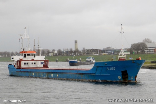
Vessel profile: IOANNIS is a General Cargo with dimensions m x m.
This page combines live AIS, route history, probable destination signals, nearby traffic, and port activity for practical vessel monitoring.
The current position of vessel IOANNIS is 36.59959 lat / 27.32183 lng. Updated: 2026-06-12 08:05:08 UTCNearest reference points:
- 12 nm E of GYALI
- 11 nm E of GYALI
- 13 nm E of Nisiros
Currently sailing under the flag of Antigua and Barbuda ![]()
Details:
Live Vessel IOANNIS Analytics (details, animations, etc.)
Recent AIS points (UTC):
2026-06-12 04:28:38 UTC · 36.49200, 27.99412 · SOG 8.5 kn · COG 273°2026-06-12 05:45:49 UTC · 36.50543, 27.76199 · SOG 9.4 kn · COG 273°
2026-06-12 07:29:08 UTC · 36.57073, 27.43468 · SOG 9.4 kn · COG 286°
2026-06-12 08:05:08 UTC · 36.59959, 27.32183 · SOG 9.6 kn · COG 286°