 vesseltracker.com
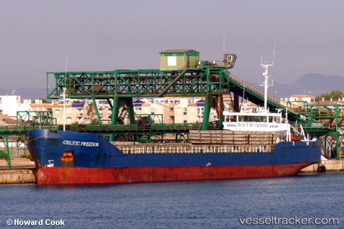
 Muhammet Gumustas 4
Current Status
Where is the vessel?
Muhammet Gumustas 4 is currently in Near Surmene, based on AIS data received about 19d ago.
Latest AIS update:
Current position: 40.92833° N, 40.17833° E (Near Surmene)
Average speed (last 7 days): Loading…
Average speed (last 30 days): Loading…
Vessel profile: Muhammet Gumustas 4 is a Multi Purpose Carrier with dimensions 92m x 11m.
This page combines live AIS, route history, probable destination signals, nearby traffic, and port activity for practical vessel monitoring.
The current position of vessel Muhammet Gumustas 4 is 40.92833 lat / 40.17833 lng. Updated: 2026-04-24 23:42:14 UTCNearest reference points:
- Near Rize
- 31 nm N of Pazar
- Near Hopa
Currently sailing under the flag of Turkey ![]()
Muhammet Gumustas 4 built in 1986 year
Deadweight:
3473 tDetails:
Live Vessel Muhammet Gumustas 4 Analytics (details, animations, etc.)
Recent AIS points (UTC):
2026-04-24 23:42:14 UTC · 40.92833, 40.17833 · SOG 0 kn · COG -1°