 vesseltracker.com
 My Duru
Current Status
Where is the vessel?
My Duru is currently in Near Burgas, based on AIS data received about 1h ago.
Latest AIS update:
Current position: 42.46532° N, 27.49908° E (Near Burgas)
Average speed (last 7 days): Loading…
Average speed (last 30 days): Loading…
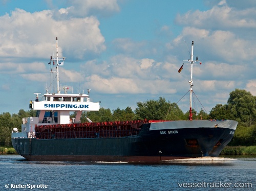
Vessel profile: My Duru is a General Cargo Ship with dimensions 74m x 74m.
This page combines live AIS, route history, probable destination signals, nearby traffic, and port activity for practical vessel monitoring.
The current position of vessel My Duru is 42.46532 lat / 27.49908 lng. Updated: 2026-05-16 09:22:37 UTCNearest reference points:
- Near Beloslav
- Near Ignatievo
- Near IGNEADA
Currently sailing under the flag of Vanuatu ![]()
My Duru built in 1986 year
Deadweight:
1506 tDetails:
Live Vessel My Duru Analytics (details, animations, etc.)
Recent AIS points (UTC):
2026-05-16 05:46:36 UTC · 42.46531, 27.50036 · SOG 0.1 kn · COG 320°2026-05-16 07:32:17 UTC · 42.46513, 27.50011 · SOG 0 kn · COG 346°
2026-05-16 08:27:28 UTC · 42.46512, 27.49946 · SOG 0 kn · COG 29°
2026-05-16 09:22:37 UTC · 42.46532, 27.49908 · SOG 0 kn · COG 55°