 MARILOU
Current Status
Where is the vessel?
MARILOU is currently in 10 nm NE of Inousses, based on AIS data received about 14h ago.
Latest AIS update:
Current position: 38.67007° N, 26.32305° E (10 nm NE of Inousses)
Average speed (last 7 days): Loading…
Average speed (last 30 days): Loading…
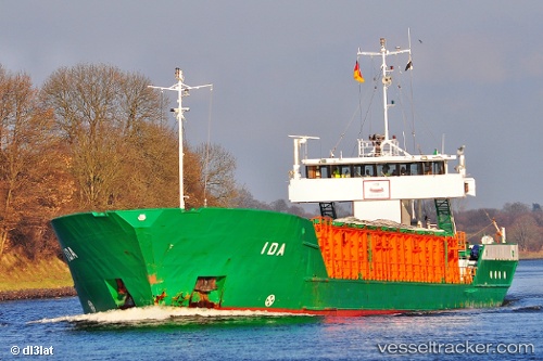
Vessel profile: MARILOU is a General Cargo with dimensions m x m.
This page combines live AIS, route history, probable destination signals, nearby traffic, and port activity for practical vessel monitoring.
The current position of vessel MARILOU is 38.67007 lat / 26.32305 lng. Updated: 2026-07-25 09:22:44 UTCNearest reference points:
- Near CESME
- Near Nemrut Bay
- Near NEMRUT
Currently sailing under the flag of Panama ![]()
Details:
Live Vessel MARILOU Analytics (details, animations, etc.)
Recent AIS points (UTC):
2026-07-25 06:15:14 UTC · 38.34718, 26.20083 · SOG 6.9 kn · COG 3°2026-07-25 07:59:03 UTC · 38.51669, 26.32419 · SOG 6.5 kn · COG 355°
2026-07-25 08:11:53 UTC · 38.54018, 26.32142 · SOG 6.7 kn · COG 343°
2026-07-25 09:22:44 UTC · 38.67007, 26.32305 · SOG 6.7 kn · COG 14°