 vesseltracker.com
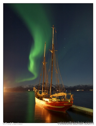
 Noorderlicht
Current Status
Where is the vessel?
Noorderlicht is currently in Near Barentsburg, based on AIS data received about 1h ago.
Latest AIS update:
Current position: 78.06417° N, 14.19973° E (Near Barentsburg)
Average speed (last 7 days): Loading…
Average speed (last 30 days): Loading…
Vessel profile: Noorderlicht is a Cruise Ship with dimensions 36m x 6m.
This page combines live AIS, route history, probable destination signals, nearby traffic, and port activity for practical vessel monitoring.
The current position of vessel Noorderlicht is 78.06417 lat / 14.19973 lng. Updated: 2026-05-15 19:48:23 UTCNearest reference points:
- Near Longyearbyen
Currently sailing under the flag of Netherlands ![]()
Details:
Live Vessel Noorderlicht Analytics (details, animations, etc.)
Recent AIS points (UTC):
2026-05-15 16:30:10 UTC · 78.22167, 12.85333 · SOG 5 kn · COG -1°2026-05-15 17:48:06 UTC · 78.15472, 13.39539 · SOG 6.1 kn · COG 109°
2026-05-15 19:10:01 UTC · 78.09976, 14.04121 · SOG 6.7 kn · COG 130°
2026-05-15 19:48:23 UTC · 78.06417, 14.19973 · SOG 0.1 kn · COG 167°