Garadagh
Current StatusWhere is the vessel?
Garadagh is currently in 14 nm S of Sangachal, based on AIS data received about 14h ago.
Latest AIS update:
Current position: 39.97109° N, 49.44870° E (14 nm S of Sangachal)
Average speed (last 7 days): Loading…
Average speed (last 30 days): Loading…
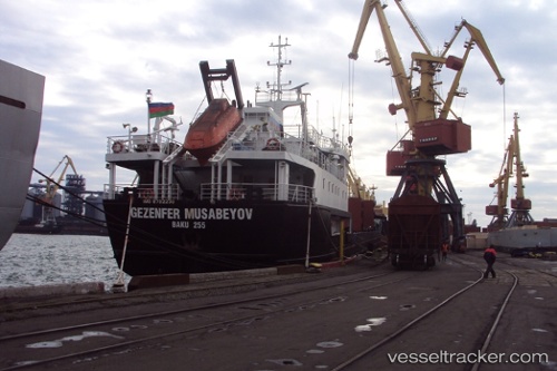
Vessel profile: Garadagh is a General Cargo Ship with dimensions 13m x 118m.
This page combines live AIS, route history, probable destination signals, nearby traffic, and port activity for practical vessel monitoring.
The current position of vessel Garadagh is 39.97109 lat / 49.44870 lng. Updated: 2026-05-21 03:38:39 UTCNearest reference points:
- Near Qaradag
- Near Khanlar
- 12 nm E of Heydar Aliyev International Apt.
Details:
Live Vessel Garadagh Analytics (details, animations, etc.)
Recent AIS points (UTC):
2026-05-21 00:56:45 UTC · 39.97111, 49.44870 · SOG 0 kn · COG 89°2026-05-21 01:35:39 UTC · 39.97110, 49.44867 · SOG 0 kn · COG 89°
2026-05-21 03:38:39 UTC · 39.97109, 49.44870 · SOG 0 kn · COG 89°
2026-05-21 03:38:39 UTC · 39.97109, 49.44870 · SOG 0 kn · COG 89°