 Energeia
Current Status
Where is the vessel?
Energeia is currently in Near Eleusina, based on AIS data received about 14h ago.
Latest AIS update:
Current position: 38.02044° N, 23.53009° E (Near Eleusina)
Average speed (last 7 days): Loading…
Average speed (last 30 days): Loading…
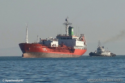
Vessel profile: Energeia is a Lpg Tanker with dimensions 89m x 15m.
This page combines live AIS, route history, probable destination signals, nearby traffic, and port activity for practical vessel monitoring.
The current position of vessel Energeia is 38.02044 lat / 23.53009 lng. Updated: 2026-05-26 19:15:51 UTCNearest reference points:
- Near PERAMA
- Near Keratsínion
- Near Drapetzona
Currently sailing under the flag of Cyprus ![]()
Energeia built in 1990 year
Deadweight:
3428 tDetails:
Live Vessel Energeia Analytics (details, animations, etc.)
Recent AIS points (UTC):
2026-05-26 16:22:46 UTC · 38.02041, 23.52948 · SOG 0 kn · COG 11°2026-05-26 17:09:51 UTC · 38.02038, 23.52962 · SOG 0.1 kn · COG 4°
2026-05-26 17:42:51 UTC · 38.02041, 23.52959 · SOG 0 kn · COG 9°
2026-05-26 19:15:51 UTC · 38.02044, 23.53009 · SOG 0 kn · COG 338°