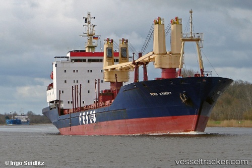
Igor Ilinskiy
Current StatusWhere is the vessel?
Igor Ilinskiy is currently in Near Dalzavod, based on AIS data received about 128d ago.
Latest AIS update:
Current position: 43.07053° N, 132.02095° E (Near Dalzavod)
Average speed (last 7 days): Loading…
Average speed (last 30 days): Loading…
Vessel profile: Igor Ilinskiy is a General Cargo Ship with dimensions 20m x 133m.
This page combines live AIS, route history, probable destination signals, nearby traffic, and port activity for practical vessel monitoring.
The current position of vessel Igor Ilinskiy is 43.07053 lat / 132.02095 lng. Updated: 2026-01-13 06:45:52 UTCNearest reference points:
- Near Dalzavod
- Near Vostokmorservice
- Near Vladivostok
Details:
Live Vessel Igor Ilinskiy Analytics (details, animations, etc.)
Recent AIS points (UTC):
2026-01-13 06:45:52 UTC · 43.07053, 132.02095 · SOG 0.5 kn · COG 334°