 Gnv Atlas
Current Status
Where is the vessel?
Gnv Atlas is currently in Near EREN, based on AIS data received about 14h ago.
Latest AIS update:
Current position: 41.58573° N, 32.07535° E (Near EREN)
Average speed (last 7 days): Loading…
Average speed (last 30 days): Loading…
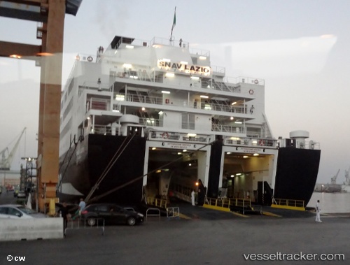
Vessel profile: Gnv Atlas is a Passenger Ro Ro Cargo Ship with dimensions 162m x 29m.
This page combines live AIS, route history, probable destination signals, nearby traffic, and port activity for practical vessel monitoring.
The current position of vessel Gnv Atlas is 41.58573 lat / 32.07535 lng. Updated: 2026-05-22 07:59:10 UTCNearest reference points:
- Near Erdemir
- Near Cide
- 27 nm NW of INEBOLU
Currently sailing under the flag of Italy ![]()
Gnv Atlas built in 1990 year
Deadweight:
4100 tDetails:
Live Vessel Gnv Atlas Analytics (details, animations, etc.)
Recent AIS points (UTC):
2026-05-22 04:13:28 UTC · 41.58578, 32.07537 · SOG 0 kn · COG 251°2026-05-22 06:19:29 UTC · 41.58574, 32.07534 · SOG 0 kn · COG 251°
2026-05-22 07:20:10 UTC · 41.58577, 32.07537 · SOG 0 kn · COG 251°
2026-05-22 07:59:10 UTC · 41.58573, 32.07535 · SOG 0 kn · COG 251°