 vesseltracker.com
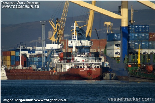
 Volaris 54
Current Status
Where is the vessel?
Volaris 54 is currently in 37 nm SE of Mariupol, based on AIS data received less than 1h ago.
Latest AIS update:
Current position: 46.72875° N, 38.27576° E (37 nm SE of Mariupol)
Average speed (last 7 days): Loading…
Average speed (last 30 days): Loading…
Vessel profile: Volaris 54 is a General Cargo Ship with dimensions 140m x 16m.
This page combines live AIS, route history, probable destination signals, nearby traffic, and port activity for practical vessel monitoring.
The current position of vessel Volaris 54 is 46.72875 lat / 38.27576 lng. Updated: 2026-04-22 18:01:37 UTCNearest reference points:
- 29 nm E of Mariupol
- 25 nm SE of Mariupol
- 21 nm SW of Taganrog
Currently sailing under the flag of St Kitts Nevis ![]()
Volaris 54 built in 1988 year
Deadweight:
6261 tDetails:
Live Vessel Volaris 54 Analytics (details, animations, etc.)
Recent AIS points (UTC):
2026-04-22 13:27:48 UTC · 46.72875, 38.27580 · SOG 0 kn · COG 29°2026-04-22 16:03:43 UTC · 46.72880, 38.27580 · SOG 0 kn · COG 29°
2026-04-22 16:33:47 UTC · 46.72879, 38.27580 · SOG 0.3 kn · COG 29°
2026-04-22 18:01:37 UTC · 46.72875, 38.27576 · SOG 0 kn · COG 31°