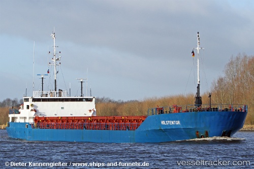
 Holstentor
Current Status
Where is the vessel?
Holstentor is currently in Near Sutton Bridge, based on AIS data received about 14h ago.
Latest AIS update:
Current position: 52.77636° N, 0.20052° E (Near Sutton Bridge)
Average speed (last 7 days): Loading…
Average speed (last 30 days): Loading…
Vessel profile: Holstentor is a Multi Purpose Carrier with dimensions 87m x 87m.
This page combines live AIS, route history, probable destination signals, nearby traffic, and port activity for practical vessel monitoring.
The current position of vessel Holstentor is 52.77636 lat / 0.20052 lng. Updated: 2026-05-20 16:26:01 UTCNearest reference points:
- Near Grimsby
- Near Immingham
- Near Withernsea
Currently sailing under the flag of Antigua Barbuda ![]()
Holstentor built in 1989 year
Deadweight:
3432 tDetails:
Live Vessel Holstentor Analytics (details, animations, etc.)
Recent AIS points (UTC):
2026-05-20 13:25:45 UTC · 52.77642, 0.20054 · SOG 0 kn · COG 18°2026-05-20 13:52:05 UTC · 52.77642, 0.20054 · SOG 0 kn · COG 17°
2026-05-20 16:25:19 UTC · 52.77636, 0.20052 · SOG 0 kn · COG 17°
2026-05-20 16:26:01 UTC · 52.77636, 0.20052 · SOG 0 kn · COG 17°