 MEILI
MEILI
Current Status
Where is the vessel?
MEILI is currently in Near Tso-Ying, based on AIS data received about 14h ago.
Latest AIS update:
Current position: 22.68684° N, 120.19686° E (Near Tso-Ying)
Average speed (last 7 days): Loading…
Average speed (last 30 days): Loading…
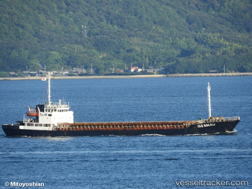
Vessel profile: MEILI is a Cargo with dimensions m x m.
This page combines live AIS, route history, probable destination signals, nearby traffic, and port activity for practical vessel monitoring.
The current position of vessel MEILI is 22.68684 lat / 120.19686 lng. Updated: 2026-05-20 21:33:53 UTCNearest reference points:
- Near Tso-Ying
- Near YUNG AN
- Near Kao-Hsiung Kang
Currently sailing under the flag of Gambia ![]()
Details:
Live Vessel MEILI Analytics (details, animations, etc.)
Recent AIS points (UTC):
2026-05-20 17:09:05 UTC · 22.68706, 120.19723 · SOG 0.2 kn · COG 347°2026-05-20 18:19:14 UTC · 22.68696, 120.19696 · SOG 0.1 kn · COG 347°
2026-05-20 19:08:44 UTC · 22.68684, 120.19695 · SOG 0.3 kn · COG 347°
2026-05-20 21:33:53 UTC · 22.68684, 120.19686 · SOG 0.1 kn · COG 353°