 MB PINTO
Current Status
Where is the vessel?
MB PINTO is currently in Near Dombraina Boiotias, based on AIS data received about 14h ago.
Latest AIS update:
Current position: 38.19550° N, 22.96953° E (Near Dombraina Boiotias)
Average speed (last 7 days): Loading…
Average speed (last 30 days): Loading…
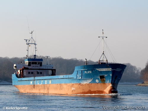
Vessel profile: MB PINTO is a General Cargo with dimensions m x m.
This page combines live AIS, route history, probable destination signals, nearby traffic, and port activity for practical vessel monitoring.
The current position of vessel MB PINTO is 38.19550 lat / 22.96953 lng. Updated: 2026-05-20 05:44:36 UTCNearest reference points:
- Near AGIOI THEODORI
- Near AEGINA BOATYARD
- Near Náfplion
Currently sailing under the flag of Malta ![]()
Details:
Live Vessel MB PINTO Analytics (details, animations, etc.)
Recent AIS points (UTC):
2026-05-20 00:55:36 UTC · 38.21853, 22.93107 · SOG 0 kn · COG 261°2026-05-20 03:19:37 UTC · 38.21851, 22.93108 · SOG 0 kn · COG 261°
2026-05-20 03:19:37 UTC · 38.21851, 22.93108 · SOG 0 kn · COG 261°
2026-05-20 05:44:36 UTC · 38.19550, 22.96953 · SOG 8.5 kn · COG 149°